

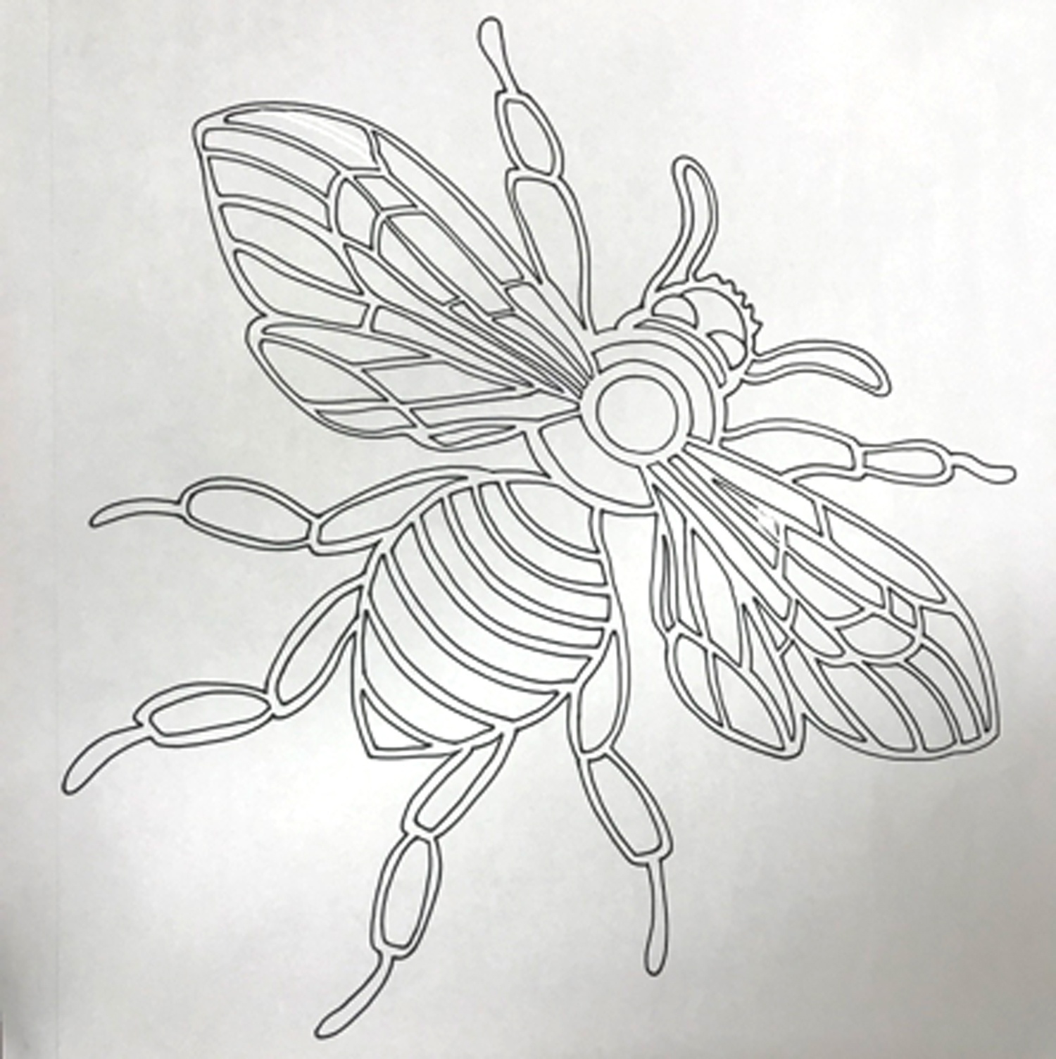
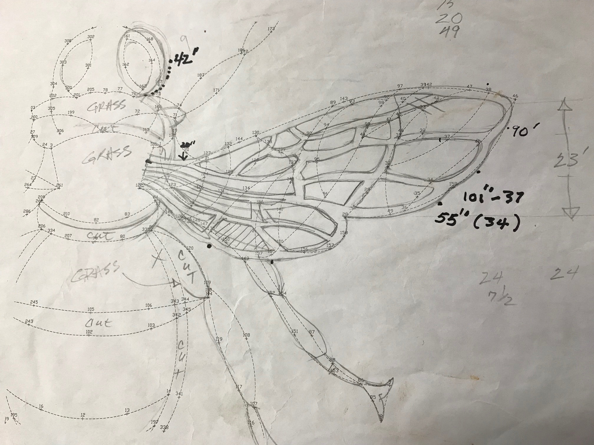
Once I have established a design in my studio, a secondary overlay is made indicating a series of dots that will serve for the GPS in the field. The drawing is transferred to a CAD drawing and downloaded onto a GPS.

Volunteers in the field with the GPS unit

Volunteer in the field numbering and hammering pegs into the grass
In the field a center point is chosen, and two points established as gradients from which to lay out the entire drawing, using pegs which are numbered and hammered into the ground, based on the information coming through the GPS. Once the pegs are established, this is where the lawn mower and trimmer come in.


Volunteers In Field
